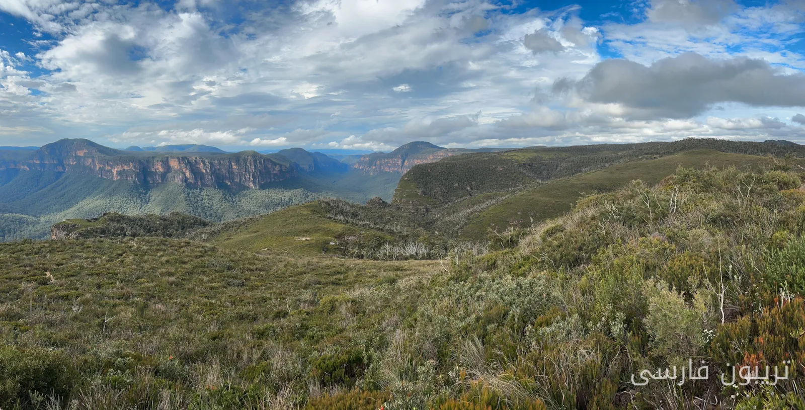
Forests and woodlands in Australia, covering millions of hectares, include tropical rainforests and temperate eucalyptus forests to vast grasslands and shrublands in arid regions. These ecosystems store vast amounts of carbon, support biodiversity, and regulate water supply. However, our information about changes in these vital ecosystems over time is surprisingly limited.
Challenges in Forest Monitoring
Australia has world-class research sites and ecological monitoring programs. However, until now, there has not been a cohesive national monitoring network to track forest health across the country. This lack of information leaves fundamental questions unanswered, such as the vulnerability of forests to drought, the recovery speed of these ecosystems after fires, and the amount of carbon stored in forests. As climate change leads to increasing droughts, heatwaves, and severe fires in Australia, understanding which ecosystems are at greater risk and which are more resilient is vital.
Read more: El Niño Controversies: Can This Weather Giant Affect You?
The New Project and Innovative Technologies
A new project is underway to fill this gap. This project involves upgrading thousands of existing solar sensors to enable them to transmit data in near real-time via satellites in low Earth orbit. If the pilot project in Western New South Wales is successful, it could be expanded at the state level or even nationwide. Monitoring changes in forests and woodlands in remote areas of Australia has always been a significant challenge. Researchers have installed sensors in areas that are highly vulnerable to climate change, such as the dry western New South Wales.
These sensors measure soil moisture, microclimate, tree growth, and plant water stress in near real-time. In many remote locations, continuous data transmission is not possible, and accessing data from these sensors is often difficult. This problem is exacerbated when sensors are located far from cities and communication infrastructure. As a result, data is typically collected only a few times a year.
Without this continuous data, we cannot identify changes as they occur. This information will be particularly valuable after significant events such as droughts, heatwaves, and fires, where ecological conditions change rapidly. In fact, this project focuses on the communication capabilities of satellites rather than using them as heavenly eyes. Low Earth orbit satellites allow sensors to continuously transmit data from very remote areas.
Currently, researchers at Western Sydney University and UNSW are collaborating with satellite communication technology company OQ Technology. This project also supports the New South Wales smart sensor network. We are expanding the monitoring network from the wet and rainy forests of the Greater Blue Mountains World Heritage Area to the dry regions of western New South Wales.
Gradually, data streams from these sensors will form datasets that will be used for better predictions of future risks. Decision-makers, industry, and conservationists rely on models and forecasts to understand how Australia's ecosystems respond to worsening climate change. However, forecasts are only as reliable as the observations used to build and validate them.
Ultimately, this project, by monitoring changes using satellite sensors, cannot prevent droughts, fires, or ecosystem decline, but it can help identify emerging threats, improve predictions, and provide the necessary evidence for making better decisions in an uncertain future.
Read more: England: Tea and Melon Grow at High Temperatures! · Designing Climate-Resilient Transport Systems