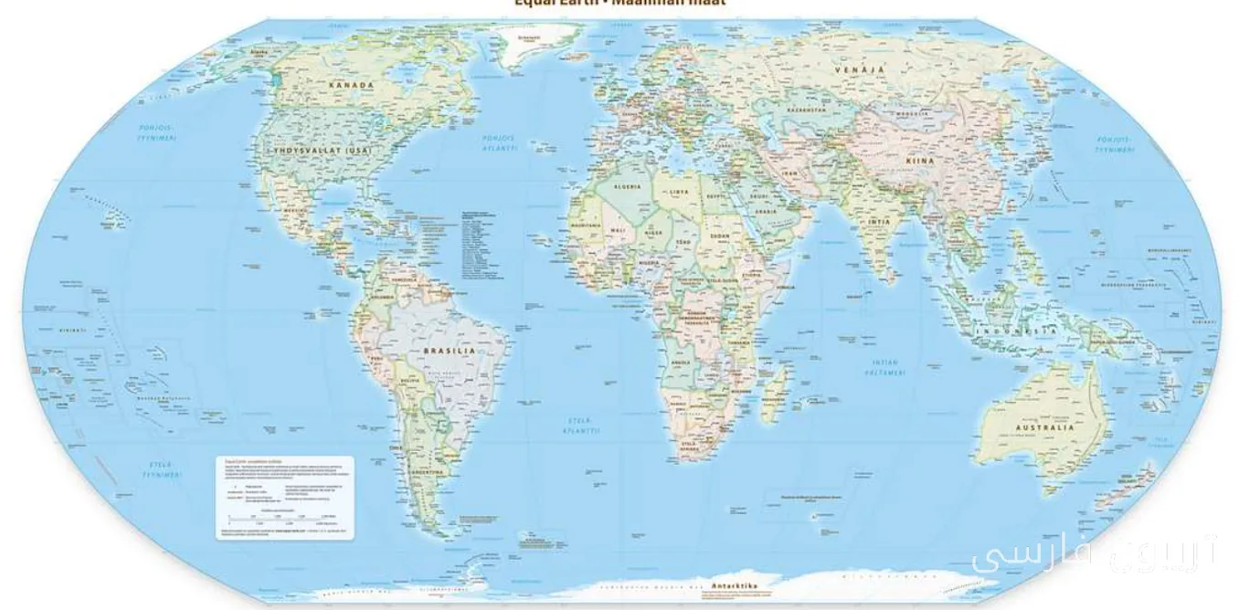
A map recently designed by a group of cartographers shows Africa significantly larger than it is represented in old maps. This has become a controversial topic and raised many questions about the accuracy and approach of cartography.
Why Is This Change Important?
The increase in the size of Africa on the new map is a kind of redefinition of the geographical and cultural boundaries of the continent. Given that Africa is considered one of the richest regions in the world in terms of natural resources and culture, this change could have deeper impacts on our understanding of global geography and international relations.
Cartographers believe that this change not only aids geographical accuracy but also highlights the importance and role of Africa in global equations. By depicting this continent larger, more attention can be given to its cultural diversity and natural resources, thereby creating a movement towards changing stereotypical perceptions about Africa.
Reactions and Consequences
Reactions to this new map have been quite diverse. Some experts believe that this change could help strengthen the national and cultural identity of African countries. Conversely, others are concerned that this change may lead to misunderstandings and new disputes regarding borders and territorial rights.
Ultimately, the new map is seen not only as a geographical tool but also as a cultural and social statement. This transformation in cartography could be a sign of changes in our understanding of the world and the place of continents within it. Are we approaching a new era in understanding geography and history?